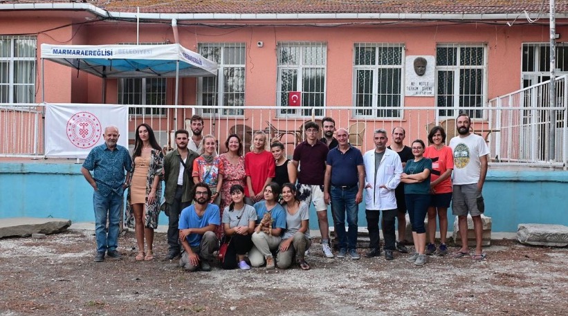
We are pleased to announce that our researchers Asst. Prof. Dr. Caner İmren and Research Assistant Beril Karadöller from the Department of Geophysical Engineering are leading the marine and land geophysical surveys of the important archeological site, Perinthos-Heraklia settled in Marmaraereğlisi, Tekirdağ, Türkiye.
Perinthos is a significant metropolitan and port city located at the coast of Propontis (Marmara Sea) of Ancient Thrace capital city during the Roman Period. Many glorious constructions such as temples, a theatre, a stadium, a basilica, and city walls were built in the territory, which was the privileged and favorite city of the Roman emperors. The capital also was harbor the naval base in those times. Therefore, the studies focusing on the city and its territory must be carried out on both marine and land areas. Since no long-term scientific excavations and geophysical researches have been carried out in the ancient city, apart from a few pieces of research and rescue excavations of the Tekirdağ Museum, most of these structures remain under the ground.
The studies on the Perinthos archaeological site have been performed with permission and under the cover of the Ministry of Culture and Tourism, and the leadership of the site director Prof. Dr. Zeynep Erdem of Mimar Sinan Fine Arts University. The archaeo-geophysical project carried out on the site has also been supported by ITU-Scientific Research Projects (Project ID: 43758). The project, which is the subject of a Ph.D. thesis, involves geophysical methods such as Ground Penetrating Radar, Magnetic, Lidar, Seismic, Bathymetry, etc.
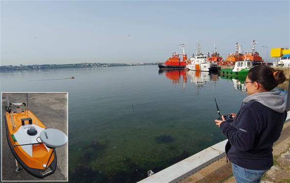
On the coasts of Perinthos, thanks to the technical sponsoring of the SAMUS (SA Underwater Maritime Solutions) company, contribution of the Municipality of Marmaraereğlisi, permission and ministering of the coast guard (TCSG 88), the cooperation of the BOTAŞ LNG, more than 1000 hectares of bathymetric data were collected in last year. Ultra-shallow and high-resolution bathymetric survey conducted with the Unmanned Surface Vehicle (USV) to a minimum depth of 40 cm, and the large dataset collected during this project have provided a unique opportunity to investigate underwater archaeological artifacts.
.jpg?sfvrsn=8e0f8f7f_2)

.jpg?sfvrsn=25d149e5_2)
.jpg?sfvrsn=7032d44c_2)